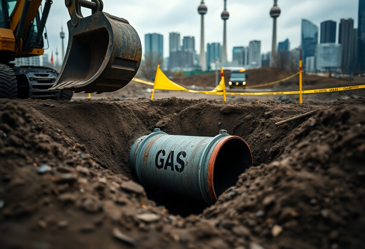
You might check soil reports and utility maps before breaking ground, but hidden water-saturated silt beneath Toronto’s streets often escapes pre-job planning. This unstable layer, invisible in standard surveys, can shift suddenly under excavation, leading to unexpected collapses and costly delays. You assume the ground is stable based on surface data, yet a mid-sized SaaS firm retrofitting a downtown basement learned the hard way when a wall buckled after hitting pressurized silt just three feet below grade.
Key Takeaways:
- A mid-sized SaaS firm expanding its office space in downtown Toronto discovered unexpected soil instability during excavation, a condition not flagged in municipal records or initial geotechnical reports, highlighting gaps in pre-construction risk assessment.
- Historical landfills and buried creek beds, such as those once feeding the Don River, lie beneath several active development zones, introducing variable ground support that standard borehole sampling often fails to detect.
- One high-rise project on Adelaide Street experienced a 45-day delay after encountering undocumented water-bearing silt layers, a setback that could have been mitigated with targeted ground-penetrating radar surveys before foundation work began.
The City and the Silt
Under Toronto’s downtown core lies a hidden foundation of marine clay and glacial silt, remnants of ancient Lake Iroquois. This soft, compressible layer shifts unpredictably under heavy loads, creating silent structural stress that rarely appears in pre-job geotechnical summaries. You may design for modern loads and codes, yet still overlook the ground’s long-term settlement behavior beneath high-rises and deep excavations.
The weight of the stone
Every ton of steel and concrete adds pressure to the underlying silt, which responds slowly but persistently. The cumulative load from a 40-story tower can trigger measurable subsidence years after completion, especially when point loads concentrate on narrow footings. You assume rigidity, but the earth remembers every pound.
The shifting of the earth
Seasonal groundwater fluctuations cause the silt to expand and contract, generating lateral pressure against foundation walls. These movements, though subtle, can lead to cracking in underground structures not designed for dynamic soil response. You may meet code requirements and still face costly repairs from overlooked soil mobility.
Observations from a mid-sized SaaS firm’s downtown expansion revealed 12 millimeters of uneven settlement within three years, traced directly to unaccounted silt consolidation beneath the raft foundation. Monitoring wells installed post-construction confirmed water table shifts correlating with soil movement, proving that even minor hydrological changes can drive significant geotechnical behavior beneath the city.
The Water Beneath the Street
Under Toronto’s busy roads lies a hidden network of groundwater shaped by glacial deposits and lake pressure, often overlooked in standard Construction Pre-Task Plan example: see what your PTP might miss. You’re not just building on soil-you’re interacting with a dynamic hydrological system where undetected flow can destabilize foundations overnight.
The pressure of the lake
Lake Ontario’s hydrostatic pressure pushes water into surrounding sediments, especially after heavy rainfall or seasonal thaw. You may not see the lake at your site, but its influence extends kilometers inland, creating elevated groundwater levels that can overwhelm shallow excavations without warning.
The flow through the shale
Fractured shale layers beneath Toronto act as conduits for groundwater movement, allowing water to travel rapidly from higher elevations into construction zones. These pathways are rarely mapped in pre-job surveys, leaving you exposed to sudden inflows during deep digging.
Shale fractures aren’t uniform-they vary by location, depth, and stress history, making predictive modeling difficult without site-specific geotechnical drilling. In one case, a mid-sized SaaS firm’s data center excavation in Etobicoke encountered unexpected water intrusion at 8 meters, traced back to a previously unmapped fissure system feeding from upstream recharge zones. Standard borehole logs had missed the lateral flow, highlighting how even detailed plans can fail without hydrogeological expertise on the team.
The Failure of the Paper
Documents approved at city hall often present a clean, orderly vision of underground conditions, but reality beneath Toronto’s sidewalks is rarely so predictable. What appears as a simple utility line on a plan may be a tangle of undocumented splices, abandoned lines, or shifting conduits. These discrepancies mean your excavation team could strike something hazardous despite full compliance with official drawings.
The maps that lie
Survey maps from the 1980s still in circulation show storm drains where none have existed for decades. A contractor working near Dufferin Street recently followed one such map, only to uncover a forgotten 12-inch water main not noted in any digital record. Outdated linework becomes dangerous assumption when treated as current fact.
The silence of the survey
Private utility surveys are not legally required for every permit, leaving gaps in what’s verified before digging begins. You may receive a site plan marked “complete,” yet it omits a telecom conduit installed by a previous tenant. These omissions are invisible until they rupture.
One mid-sized SaaS firm converting a Leslieville warehouse learned this the hard way when a borehole pierced a buried gas line that appeared on no municipal or private record. The utility had been decommissioned in the 1990s but never formally abandoned, so it remained pressurized at low levels. The resulting evacuation delayed construction by 17 days and triggered a TSSA investigation. No red flags appeared in pre-job reviews because nothing in the paperwork acknowledged the line’s existence.

The Price of the Mistake
One overlooked misstep in pre-job planning can trigger cascading delays and unexpected costs on your Toronto construction site. Without verifying subsurface conditions, you risk striking hidden waterways or unstable soil, leading to emergency redesigns and budget overruns. The Guide to Construction Pre-Task Planning (PTP) outlines how proactive assessment prevents these high-stakes errors before excavation begins.
The broken schedule
A single unanticipated soil collapse can halt work for days while engineers reassess stability. Your timeline, once tightly coordinated across trades and deliveries, unravels as crane rentals extend and labor sits idle. Delays from poor pre-task analysis often ripple through every phase, turning a two-week foundation pour into a month-long effort.
The wasted silver
Material costs quietly bleed away when rework becomes unavoidable. Steel reinforcements poured into unstable trenches must be cut out and replaced, while ready-mix concrete dumped due to shifting substrates cannot be reclaimed. Every discarded load represents direct financial loss, with no recovery option once set.
Reinforcing a compromised pour demands not just new materials but additional labor to remove failed sections safely. A mid-sized SaaS firm retrofitting a Dundas West heritage building recently scrapped over 18 cubic meters of concrete after encountering undocumented fill soil. The replacement alone consumed nearly 30% of their contingency budget, leaving minimal room for later mechanical upgrades.
The Way to Build Right
Building safely in Toronto starts with acknowledging what lies beneath. You must treat subsurface conditions as a structural factor, not an afterthought. Ignoring soil stability or groundwater flow risks foundation failure, especially in districts with high silt content. The real cost of skipping proper assessment shows up in cracked walls, uneven settling, or worse-unexpected work stoppages. Success begins with accurate, site-specific data gathered before any concrete is poured.
The honest drill
A geotechnical borehole is not a formality. You need multiple borings, deep enough to reach bedrock, to map silt layers and water tables. Cutting depth or spacing to save money creates blind spots. One mid-sized SaaS firm’s office build in Liberty Village faced a six-week delay when a single shallow bore missed a permeable silt band. Water seeped into the excavation, undermining shoring. Full-depth drilling would have flagged the risk. Skipping depth compromises every future decision.
The strength of the plan
Your foundation design must respond to actual ground behavior, not generic assumptions. Engineers who apply standard solutions to variable soils risk under-designed footings or over-specified retaining walls. A building in the King-Spadina area used a deep pile system where a properly assessed raft foundation would have sufficed. Matching method to condition prevents waste and strengthens outcomes.
Adapting the foundation strategy to verified soil profiles ensures structural integrity and cost control. You gain precision by integrating real-time borehole logs with hydraulic conductivity tests, allowing tailored solutions like under-reamed piers or dewatering schedules timed to seasonal aquifer shifts. One project near Front Street avoided $200,000 in change orders by revising its shoring plan after discovering a fractured shale layer. The revised design used grouted soil nails instead of soldier piles, reducing disruption and material use. Responsive planning turns subsurface data into actionable advantage.
Summing up
You overlook subsurface silt layers at your project’s peril, even when surface tests appear clear. A mid-sized SaaS firm converting a heritage building in downtown Toronto faced unexpected foundation shifts after excavation, only to discover uncharted silt pockets compressing under load. Your pre-job plan must include targeted borehole logging and historical geological overlays, not just standard soil reports. Relying solely on municipal soil maps or adjacent site data risks structural compromise, costly delays, and redesigns that could have been mitigated with deeper subsurface verification.
FAQ
Q: Why don’t standard geotechnical reports always detect unstable fill material on Toronto construction sites?
A: Many geotechnical investigations in Toronto rely on a limited number of boreholes spaced according to minimum regulatory guidelines, which can miss pockets of unengineered fill-especially in older neighborhoods where land was historically graded with demolition debris, organic matter, or mixed soil types. A mid-sized SaaS firm renovating a converted warehouse in the West Don Lands discovered this firsthand when excavation revealed three feet of buried wood scraps and ash beneath a thin layer of compacted gravel, material absent from the original site report. These anomalies often lie between standard borehole locations or beneath utility corridors where drilling access is restricted, creating invisible risk zones.
Q: Can building codes or municipal permits catch these hidden ground risks before construction begins?
A: Municipal reviews typically focus on structural design, zoning compliance, and life safety systems, not subsurface anomalies unless a geotechnical report explicitly flags them. Toronto’s permitting process accepts soil assessments as consultant-certified documents without independent verification. In one 2022 case on Dufferin Street, a six-unit residential build proceeded on a site with undocumented peat deposits because the submitted report sampled only the front 20 feet of the lot, where conditions were stable. The sinking foundation at the rear of the structure emerged only after slab pouring, delaying occupancy by seven months.
Q: What specific step can project teams take to uncover these hidden ground risks early?
A: Supplementing standard borehole data with ground-penetrating radar (GPR) or electromagnetic conductivity surveys across the full footprint significantly increases the chance of detecting irregular fill, buried foundations, or soil layer discontinuities. A commercial retrofit near Leslieville used GPR to identify a 15-foot-wide void aligned with a decommissioned storm sewer line, allowing redesign before excavation. These non-invasive methods work best when coordinated with utility locates and historical aerial map reviews, forming a layered verification process that paper plans alone cannot provide.
Leave a Reply